

Chesterfield, Missouri
Homes for rent and for sale — search the map or open the full city SEO catch-all page.
Chesterfield, Missouri
Moving to Chesterfield, Missouri means settling in a city of about 49,300 people in west St. Louis County, roughly 22 miles from downtown St. Louis, with a median household income of $133,037 and a median home sale price of $607,000 as of July 2026. The city splits into two distinct ZIP codes with different neighborhoods, schools, and flood risks. Your specific street address determines school district, flood zone, and daily experience more than the city name does.
Moving to Chesterfield, Missouri
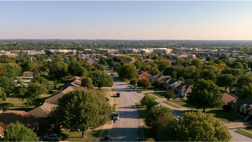
Chesterfield is a city of about 49,300 people in west St. Louis County, roughly 22 miles (about 25 minutes without traffic) from downtown St. Louis, anchored by healthcare, insurance, and plant-science employers. You get more than 597 acres of parks and trails, two well-regarded public school districts, established neighborhoods alongside newer communities, housing costs that run high for Missouri, and a suburban layout where most households keep a car. Two things to understand up front: Chesterfield is its own incorporated city, not a St. Louis neighborhood, and it splits practically into east/central (63017) and west/Valley (63005). Moving to Chesterfield, Missouri, is less a city-level decision than an address-level one, because the experience changes block by block. Here is what you will find on cost, neighborhoods, schools, jobs, hospitals, and things to do before you sign.
Where Chesterfield Is Located: I-64, the Missouri River, and St. Louis
Chesterfield sits in west St. Louis County and covers 31.88 square miles of land as of the 2020 census. I-64 runs through it as the main highway spine, giving the city great access east toward Clayton and downtown St. Louis. The Missouri River forms the northern and western edge near Chesterfield Valley, which is why floodplain questions matter out there. The name dates to 1815, chosen by Justus Post, but the city itself only incorporated in 1988. Young on paper, old in practice.
Chesterfield at a Glance: Population, Households, and Income
| Metric | Figure (as of / source) |
|---|---|
| Population | 49,309 (July 1, 2025 Census estimate); 49,999 in the 2020 census |
| Households | 20,811 (2020-2024 ACS) |
| Housing units | 21,306 (2020 census); 77.6% owner-occupied |
| Rental vacancy | 11.4% (homeowner vacancy 1.1%, 2020-2024 ACS) |
| Median household income | $133,037 in 2024 dollars (2020-2024 ACS) |
| Adults 25+ with a bachelor’s or higher | 72.5% (2020-2024 ACS) |
| Residents 65+ / foreign-born | 25.5% / 16.0% (2020-2024 ACS) |
| Mean commute to work | 21.6 minutes (2020-2024 ACS) |
| City parkland and trails | 597+ acres (City of Chesterfield) |
Census numbers are multiyear estimates, not live 2026 readings. The population skews older and more educated than Missouri overall, with a degree-holding share well above the national average, and the Census publishes racial, ethnic, ancestry, and language detail if you want it.
What Does Living in Chesterfield Cost?
Most relocation guides mix four different measurements and present them as one number. Census medians, asking rents, typical-value indexes, and closed-sale medians each measure something different, so always check the source, the metric, and the date.
| Metric | Figure | As of |
|---|---|---|
| Median owner-occupied home value (Census) | $472,500 | 2020-2024 ACS |
| Median gross rent (Census) | $1,644 | 2020-2024 ACS |
| Median monthly owner cost with mortgage | $2,464 | 2020-2024 ACS |
| Typical home value (index source) | $576,404 | Aug 31, 2026 |
| Median sale price | $607,000 | July 2026 |
| Average asking rent, all bedroom counts | ~$2,116 | Oct 4, 2026 listings snapshot |
In recent years homes have gone pending in roughly 6 to 13 days depending on the source, making this one of the more expensive places in Missouri. One nuance worth getting right: Chesterfield levies no municipal property tax, but a Chesterfield property still carries a tax bill. Account for county, school district, fire district, and other taxing entities, and pull the parcel-specific numbers.
Renting vs. buying in Chesterfield
With a tight sales market and asking rents above the Census baseline, neither path is automatically cheaper. Run your own figures through our Rent Calculator, Cost of Living Calculator, and Rent vs. Buy Calculator before you commit either direction.
Chesterfield Neighborhoods: East and Central vs. Chesterfield Valley
- East and central (mostly 63017): closer to St. Luke’s Hospital, City Hall, Central Park, the Chesterfield Amphitheater, the aquatic center, and Faust Park with its butterflies. Established communities line Clarkson and Olive.
- West and Chesterfield Valley (mostly 63005): closer to Valley employment and retail, I-64, the Missouri River, and Spirit of St. Louis Airport. Flood-zone and airport-disclosure checks matter most here.
- Downtown Chesterfield: the former mall site, now being built in phases to create a walkable core. Developer projections put park construction at fall 2026, residential construction at spring 2027, and first residents in fall 2029. Projections, not guarantees.
Housing stock is largely single-family detached, with apartments, townhomes, and condominiums mixed in, so there is a variety of options at different price points. Before you settle on a short list, compare commute, housing type, parks, school assignment, flood zone, and construction activity.
Which School Districts Serve Chesterfield Neighborhoods?
Parkway School District covers a large portion of the city and Rockwood School District covers parts of the west side. Which schools your children attend depends on the street address, and those district bounds do not follow city limits. Schools inside the city include Chesterfield Elementary, Kehrs Mill Elementary, and Marquette High School, each drawing from surrounding communities. Run the exact address through Parkway’s boundary locator or Rockwood’s school directory before you apply or make an offer, and check Missouri DESE performance reports instead of commercial letter grades. Private and parochial options also exist nearby.
Jobs, Employers, and the Local Economy
The clusters are healthcare, insurance and financial services, agribusiness and plant science, pharmaceutical research, aviation, and higher education. Per the City’s 2025 budget, the largest employers were St. Luke’s Hospital (1,906), Missouri Higher Education Loan Authority (1,227), Bayer Crop Science (1,120), Reinsurance Group of America (1,079), Bunge North America (804), and Pfizer (681), with Mercy and Logan University also listed. Those are 2025 budget headcounts, not live 2026 numbers. Spirit of St. Louis Airport reports 150-plus on-site businesses and more than 3,000 professionals. Metro-wide, St. Louis unemployment was 3.9% in August 2026 with nonfarm employment up 0.7% year over year. The first genetically modified potato was grown here in 1987, which tells you something about the plant-science roots. For owners, that employment density is what sustains rental demand.
Getting Around: Commute Times, I-64, and MetroBus
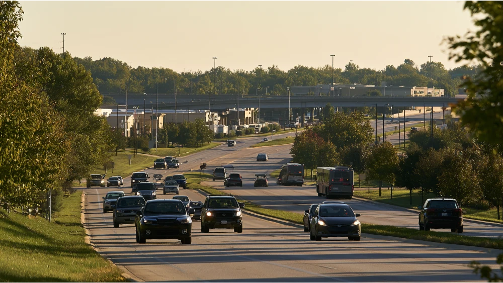
Mean travel time to work is 21.6 minutes (2020-2024 ACS), and downtown St. Louis is about 25 minutes via I-64 outside rush hour. Can you live here without a car? On specific corridors, yes. MetroBus Route 58 Chesterfield Valley connects to the Ballas and Clayton transit centers, and Route 91 Olive serves City Hall and runs east to the Delmar Loop Transit Center. Schedules change a few times a year. There is no MetroLink station inside the city, so rail trips require a bus or car connection. Spirit of St. Louis Airport is general aviation with roughly 400 daily operations. Commercial flights leave from Lambert.
Hospitals, Safety, and Severe Weather
St. Luke’s Hospital runs a 24-hour emergency department for adults and pediatric patients, plus outpatient, surgical, and rehabilitation services. Mercy Rehabilitation Hospital operates around the clock for stroke, brain and spinal-cord injury, and orthopedic recovery, and Mercy also offers virtual and mobile care. On safety, the City’s 2024 Community and Police Survey (N=524) found 95.8% of people rated Chesterfield excellent or good as a safe place, 94.0% rated police services positively, and 99.0% rated it excellent or good as a place to live. Those are resident perceptions, not crime rates, and the city publishes incident-level reports if you want harder data. Weather is four-season Midwestern and shapes daily life: January averages a 40.4°F high and 23.8°F low, July an 89.6°F high and 71.1°F low (NOAA 1991-2020 normals, Lambert station). An F4 tornado hit on January 24, 1967. Sign up for city emergency alerts and know where you would shelter.
Things to Do: Faust Park, Butterflies, Trails, and Popular Places
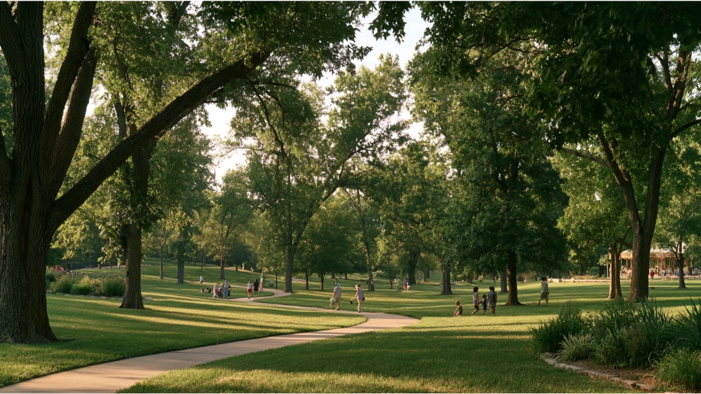
Start at Faust Park, where the Sophia M. Sachs Butterfly House keeps hundreds of butterflies flying free inside a glass conservatory. Tropical butterflies are the draw in January when nothing outdoors is pleasant, and the park also holds a historic carousel, the Thornhill estate, a playground, and a walking trail. Free summer concerts run there on Tuesdays, which makes an easy weeknight out with friends.
- Central Park: 39 acres with a popular one-mile trail, a lake, public art, a playground, the Chesterfield Family Aquatic Center, and the Chesterfield Amphitheater, which seats up to 3,000 and carries much of the local arts and culture calendar.
- River’s Edge Park: 188 acres with a 1.6-mile lake loop.
- Railroad Park: 33 acres with disc golf.
- Riparian Trail: 1.57 miles, with the Monarch Levee Trail running about 12 miles for walking and biking.
Castlewood State Park is close by for hiking, mountain biking, and fishing, and the Chesterfield Valley Athletic Complex handles youth sports. City recreational programming covers pickleball, movies in the park, aquatic classes, and older-adult activities. If you tour in September, the trail mileage alone makes this an ideal place to judge whether the suburban pace fits you.
Chesterfield Commons: The Longest Outdoor Strip Mall in the Country
Chesterfield Commons, often described as the longest outdoor strip mall in the country, puts a great open-air run of shopping and places to eat along the Valley. Between the butterflies, the ball fields, and the amphitheater lawn, a family here rarely runs out of places to go on a Saturday.
Before You Sign: Flood Zones, Airport Disclosure, and 8 Address-Level Checks
The levee protecting Chesterfield Valley failed on July 30, 1993. In the years since, flood exposure has come down to the parcel, and two homes on the same street can sit in different zones. The city is also reviewing proposed Flood Insurance Rate Maps. Work the address, not the city.
- Check the exact address on FEMA’s Map Service Center and the city’s floodplain page.
- Ask whether flood insurance is required and whether lower levels have ever taken water.
- Request the airport-related disclosure, which Chesterfield requires in contracts for the sale, lease, or rental of certain residential units near Spirit of St. Louis Airport.
- Visit the neighborhood at rush hour and during active flight hours.
- Confirm the assigned schools through the district locator before making an offer.
- Test the commute in both directions.
- Confirm who pays each utility. The city does not provide water, electric, gas, sewer, or telecom directly.
- Verify re-occupancy or permit requirements with the city and document move-in condition in writing.
This is exactly the legwork a full-service manager handles for owners: tenant screening, property inspections, rental permits, and city ordinance compliance, so nothing slips.
Frequently Asked Questions
Is Chesterfield, Missouri, considered St. Louis County?
Yes. Chesterfield is an incorporated city within St. Louis County, roughly 22 miles and about 25 minutes west of downtown St. Louis via I-64.
Is Chesterfield, Missouri, a nice place to live?
In the City’s 2024 survey of 524 residents, 99.0% rated it excellent or good as a place to live and 95.8% as a safe place. That is perception data. The tradeoffs are real: plenty of parkland, hospitals, and job access on one side, higher-than-average housing costs and car dependence on the other.
What are the cheapest places to live in Missouri?
Not Chesterfield. Prices here rank among the most expensive in the state, while smaller metros and rural counties run well below. Compare places with our Cost of Living Calculator rather than trusting a single “cheapest city” claim.
What is the history of Chesterfield, Missouri?
Justus Post named the area in 1815, and the city incorporated in 1988. Two events shaped it since: the F4 tornado of January 24, 1967, and the 1993 Chesterfield Valley levee failure, which changed how the Valley develops.
Make Your Chesterfield Move a Seamless Experience
Renters: browse rental properties in Chesterfield and nationwide, run the Rent Calculator and Rent vs. Buy Calculator, and submit an application when you find the one. Find Your Perfect Home Near You. Your Rental. Your Way.
Owners weighing the St. Louis area rental market: KT Rents is a broker-owned, full-service property management company operating nationwide since 2009, 16-plus years, across 34 states with 683 units and $187M in assets under management as of early 2025, with a reported 98% occupancy rate. We handle tenant placement, tenant screening, rent collection, maintenance, rental permits, 1099s, property inspections, and court evictions without the owner lifting a finger, for about the price of a cup of coffee and a donut a day. We follow Fair Housing law in every market, which means no steering by race, familial status, or any other protected class. Call (800) 716-4950, text (608) 207-0657, or email info@ktrents.com. Form submissions get a response within 24 hours.